
This corrected circular route explores the hills above the village of Vélez de Benadaulla. The route is 11.08 km long, has an elevation of 431 m and take about 4 hours to complete.
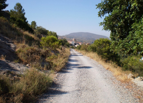
The route starts in the village of Vélez de Benadaulla. We start by walking up along the Camino de Torcas to the Molino de las Torcas. We continue on up along the Camino de Tablón, over the bridge to cross the Autovía de Sierra Nevada-Costa Tropical. We soon reach the highest point of the route at 519 m. The return route is mostly downhill apart from the lunch stop where we climb up to a fairly flat plateau with fantastic views of the surrounding areas. We then make our way back to the starting point.
| Distance | 11.077 km |
| Duration | 3 hours 42 minutes GPX ------ 3 hours 51 mins (Naismith) |
| Total Climb | 431 m |
| Highest Point | 591 m |
| Weather Link | Click here |
Meeting Point: Vélez de Benaudalla: carpark
See map full screen Click here
Note: You can choose different types of maps using the drop down (top right) EG ArcGis Ariel is satelliteSorry we do not allow download of the gpx file of this walk because our group suffered a takeover by the weasly walkers. Click here if you would like to know what a walking group takeover is.
This page has been seen 1157 times since - 12th December 2024