
This circular route starts in Salobreña and goes to Lobres. The route is 14.4km long, has an elevation of 111m and takes about 4 hours to complete.
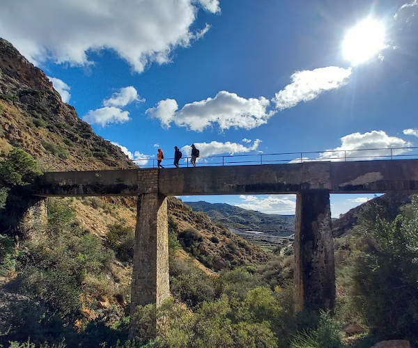
The route starts near the village of Salobreña, on the other side of the motorway. We follow the route clockwise, past a number of cortijos and across the Rambla de Molvízar, through Las Jamillas and to a waterfall. We then walk through the centre of Lobres, through a tunnel and on to the Cueva del Capitán. From here, we then follow the Río Guadalfeo and make our way back to the starting point. This is quite an easy walk. A lot of it is along asphalt roads. The bar at the bus station is an OK place to have a beer.
| Distance | 14.391 km |
| Duration | 4 hours 8 minutes GPX ------ 3 hours 53 mins (Naismith) |
| Total Climb | 111 m |
| Highest Point | 111 m |
| Weather Link | Click here |
Meeting Point: Salobreña near to rapimueble, alsa and the polideportivo
See map full screen Click here
Note: You can choose different types of maps using the drop down (top right) EG ArcGis Ariel is satelliteSorry we do not allow download of the gpx file of this walk because our group suffered a takeover by the weasly walkers. Click here if you would like to know what a walking group takeover is.
This page has been seen 3568 times since - 13th January 2023