
This circular route explores the hills around the Mirador de la Cabra on the old Carretera de la Cabra. The route is 10.37 km long, has an elevation of 343 m and takes about 4 hours to complete.
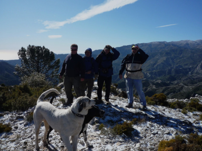
The route starts at the Mirador de la Cabra. We follow the road back down to the coast for a short section before turning off to the left. We circle round the Altos de Jaloche past the Puntal de las Cebadillas on our right. There is now a downward section before we make our way back up a fairly steep section called the Cuesta Arroba to reach the top of the Cerro del Covarrón (1145 m). We then make our way back down to the starting point.
| Distance | 10.37 km |
| Duration | 3 hours 20 minutes GPX ------ 3 hours 27 mins (Naismith) |
| Total Climb | 343 m |
| Highest Point | 1151 m |
| Weather Link | Click here |
Meeting Point: Carretera de la Cabra: petrol station
See map full screen Click here
Note: You can choose different types of maps using the drop down (top right) EG ArcGis Ariel is satelliteSorry we do not allow download of the gpx file of this walk because our group suffered a takeover by the weasly walkers. Click here if you would like to know what a walking group takeover is.
This page has been seen 1593 times since - 24th January 2025