
This route explores the hills and the acequias above Lanjarón. The walk is 10.2km long and takes about 4 hours to complete.
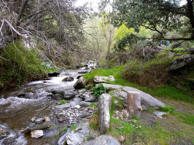
It is necessary to drive through the village of Lanjarón to get to the parking spot and the start of the walk. The route begins at the Fuente de los Ojos. There is quite a steep uphill ascent to almost 1200 metres with fantastic views of Lanjarón, the Rules dam and the coast. We also see lots of chestnut trees and one of the most spectacular chestnut groves is the Castañar de Patatún. We then cross the Río Lanjarón and join up with the Acequia Montalbán. Following the acequia, we pass a couple of waterfalls before making our way back down to Lanjarón and return to the starting point, walking through Barrio Hondillo.
| Distance | 9.138 km |
| Duration | 3 hours 19 minutes GPX ------ 3 hours 37 mins (Naismith) |
| Total Climb | 535 m |
| Highest Point | 1188 m |
| Weather Link | Click here |
Meeting Point: Lanjarón Parking (A348)
See map full screen Click here
Note: You can choose different types of maps using the drop down (top right) EG ArcGis Ariel is satelliteSorry we do not allow download of the gpx file of this walk because our group suffered a takeover by the weasly walkers. Click here if you would like to know what a walking group takeover is.
This page has been seen 1933 times since - 11th January 2022