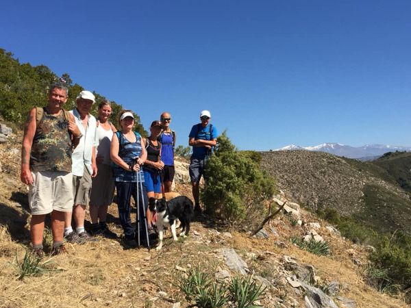

This beautiful walk explores the Sierra de Ítrabo, the hills north of Ítrabo. This walk is 8.9km long and takes approximately 3.5 hours to complete.
The walk starts at the source of the Río Ítrabo. There is a steep, uphill climb at the beginning of the walk. Parts of the walk are along rocky tracks and parts along 4x4 trails and there are some fantastic views from the top. The path is marked with SL-A 282 signs. We have not done this walk yet and it has only recently been recognised as an official track. Apparently there is space for about three cars at the start of the trail and it is a bit of a steep drive to get to the starting point.
| Distance | 8.928 km |
| Duration | 3 hours 0 minutes GPX ------ 3 hours 20 mins (Naismith) |
| Total Climb | 443 m |
| Highest Point | 1074 m |
| Weather Link | Click here |
Meeting Point: Jete Picnic Site
See map full screen Click here
Note: You can choose different types of maps using the drop down (top right) EG ArcGis Ariel is satelliteSorry we do not allow download of the gpx file of this walk because our group suffered a takeover by the weasly walkers. Click here if you would like to know what a walking group takeover is.
This page has been seen 1711 times since - 11th January 2022