
This route explores the hills above Ítrabo and Jete. The walk is 8.5km long and takes about 4 hours to complete.
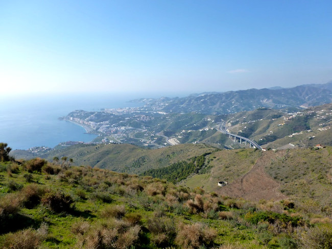
This is a lollipop walk. We start at the layby on the road up from the picnic site past Jete. We walk along the track and up to the top of the Cerro de Ítrabo. We walk round the Piedras de Gaspar and on to the Cerro del Águila and the Poyetón, before making our way back. The top photo is the view from the place we normally eat.
| Distance | 8.531 km |
| Duration | 2 hours 58 minutes GPX ------ 3 hours 4 mins (Naismith) |
| Total Climb | 372 m |
| Highest Point | 714 m |
| Weather Link | Click here |
Meeting Point: Jete-Ítrabo parking
See map full screen Click here
Note: You can choose different types of maps using the drop down (top right) EG ArcGis Ariel is satelliteSorry we do not allow download of the gpx file of this walk because our group suffered a takeover by the weasly walkers. Click here if you would like to know what a walking group takeover is.
This page has been seen 1527 times since - 7th February 2022