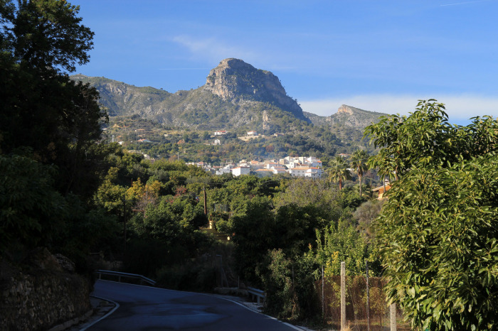

This is an easy circular hike from the village of Guajar Alto. The walk is 8km long and takes approximately 3 hours to complete.
The walk starts in the village of Guajar Alto and then goes around the tree covered hills, on some stretches you will see enedro or juniper trees. The cones of juniper are used to flavour gin. The route is relatively straightforward although there are a couple of steep climbs. This walk is fairly easy and would be a good introductory walk for people who are not used to long hikes. There is an excellent bar in the top of the village called the Olivo which has good free tapas. There is plenty of parking around this bar.
| Distance | 7.789 km |
| Duration | 2 hours 44 minutes GPX ------ 2 hours 44 mins (Naismith) |
| Total Climb | 315 m |
| Highest Point | 621 m |
| Weather Link | Click here |
Meeting Point: Layby on the road up to Los Guájares
See map full screen Click here
Note: You can choose different types of maps using the drop down (top right) EG ArcGis Ariel is satelliteSorry we do not allow download of the gpx file of this walk because our group suffered a takeover by the weasly walkers. Click here if you would like to know what a walking group takeover is.
This page has been seen 2007 times since - 19th January 2022