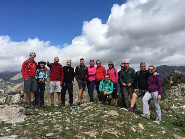

This route starts in the picturesque village of Frigiliana. We walk through the town to a track that leads up to El Fuerte which is a mountain with incredible views. The walk is 8km long and takes about 4 hours to complete.
The steep uphill at the start of this walk is the most difficult and after that, it is fairly easy. The summit at 963 metres high has impressive views of the coastline and the mountains further inland. Along the route, we pass by the old mill of Lízar and a water channel built by the Arabs in order to divert some of the water from the Río Higuerón to supply the town and the agricultural terraces.
| Distance | 8.2 km |
| Duration | 3 hours 6 minutes GPX ------ 3 hours 42 mins (Naismith) |
| Total Climb | 658 m |
| Highest Point | 972 m |
| Weather Link | Click here |
Meeting Point: Frigiliana Road Meeting Point
See map full screen Click here
Note: You can choose different types of maps using the drop down (top right) EG ArcGis Ariel is satelliteSorry we do not allow download of the gpx file of this walk because our group suffered a takeover by the weasly walkers. Click here if you would like to know what a walking group takeover is.
This page has been seen 2862 times since - 24th February 2022