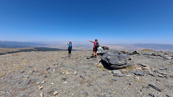

This is the circular longer version of the El Chullo hike. El Chullo is the highest peak in the province of Almería - El Chullo has an altitude of 2619m. The route is 15.2km long, has an elevation of 679m and takes approximately 6 hours to complete.
The route begins in the Puerto de la Ragua. We then begin a hike up to reach El Chullo, the highest peak in Almería at 2619m. There is then a steep and difficult descent to the Laguna Seca. We return along a beautiful trail that runs below El Chullo, and following the Sendero Sulayr we return to the start of the route after about 15.2km. NOTE!!! There is a positive elevation of 679m. There is an easier linear version of this walk here
| Distance | 15.217 km |
| Duration | 5 hours 26 minutes GPX ------ 5 hours 30 mins (Naismith) |
| Total Climb | 679 m |
| Highest Point | 2609 m |
| Weather Link | Click here |
Meeting Point: Puerto de La Ragua
See map full screen Click here
Note: You can choose different types of maps using the drop down (top right) EG ArcGis Ariel is satelliteSorry we do not allow download of the gpx file of this walk because our group suffered a takeover by the weasly walkers. Click here if you would like to know what a walking group takeover is.
This page has been seen 2301 times since - 10th October 2022