
This section of the Camino Mozárabe de Almería goes from Quéntar to Granada. The route is 18.4 km long, has an elevation of 305 m and takes about 6 hours to complete.
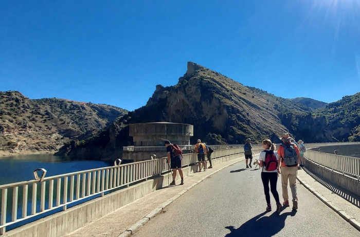
This section of the Camino Mozárabe de Almería starts in the village of Quéntar in the province of Granada. The start of the walk is relatively flat until the village of Dúdar when the steeper section begins with an uphill ascent to 1018 m. There is then a gentle descent to the town of Granada. The route between Quéntar and Dúdar is mostly on tracks (except for a very short section on the old Granada road). The uphill section out of Dúdar begins by following the main road. Shortly after the highest point, you follow another track until just before Granada when you join up with the Camino De Beas, the road on the banks of the River Darro which passes through the Sacromonte barrio of Granada. You walk down the Cuesta Chapiz and along the Carrera del Darro, one of the most beautiful areas of Granada with its many bars, churches, old buildings and fantastic views of the Alhambra just above. You then walk through Plaza Nueva and along the Calle Paveneras to the barrio Realejo, the old Jewish quarter of Granada. In the middle of the Calle Santiago, you arrive at your destination, the Convento de las Comendadoras de Santiago.
| Distance | 18.405 km |
| Duration | 5 hours 42 minutes GPX ------ 5 hours 22 mins (Naismith) |
| Total Climb | 305 m |
| Highest Point | 1018 m |
| Weather Link | Click here |
See map full screen Click here
Note: You can choose different types of maps using the drop down (top right) EG ArcGis Ariel is satelliteDownload GPX file We give you permission to download the gpx file of this route and follow it on your smartphone. Please note that we own the copyright to this file and you cannot upload it somewhere else in the same way that you can't copy a Beatles song and then claim that you made it. Click here if you would like to know more about copyright of internet content.
This page has been seen 1760 times since - 6th March 2023