
This circular route starts at the Área Recreativa El Mirador near Motril and goes up to the Cerro del Toro. The route is 11.3km long, has an elevation of 352m and takes about 4 hours to complete.
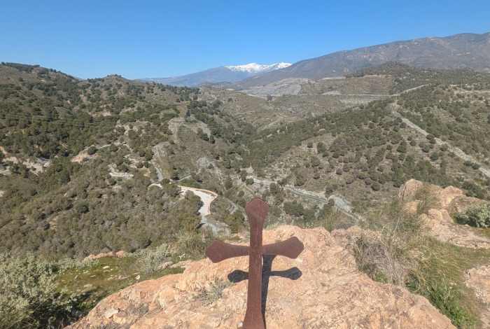
The walk starts at the Área Recreative El Mirador and goes up to the Túnel de la Gorgoracha. Here, there is another uphill section before we make our way down to the Fuente de la Bullarenga. We then continue through the Barranco de las Provincias to the Parque Cerro del Toro and then on up to the Cerro del Toro with fantastic views of the Port of Motril and the surrounding areas. We then walk back down to the starting point. The Cerro del Toro is quite a steep hill near the end of the walk and is optional.
| Distance | 11.349 km |
| Duration | 4 hours 29 minutes GPX ------ 3 hours 43 mins (Naismith) |
| Total Climb | 352 m |
| Highest Point | 399 m |
| Weather Link | Click here |
Meeting Point: Motril: Área Recreativa El Mirador - parking
See map full screen Click here
Note: You can choose different types of maps using the drop down (top right) EG ArcGis Ariel is satelliteSorry we do not allow download of the gpx file of this walk because our group suffered a takeover by the weasly walkers. Click here if you would like to know what a walking group takeover is.
This page has been seen 2969 times since - 10th February 2023