
This route explores the area between Jete and Itrabo. The route is 11.42 km long, has an elevation of 419 m and takes about 4 hours to complete.
This walk mainly follows tracks and passes through areas of fruit groves. The eating point at the Ermita de la Virgen de Bodíjar is very comfortable and it is possible to sit down in the entrance to the chapel. The chapel is secured by a piece of string. The path down from the top path is not very clear. If you see a chain across the path you know you are on the right track.
| Distance | 11.415 km |
| Duration | 4 hours 12 minutes GPX ------ 3 hours 54 mins (Naismith) |
| Total Climb | 419 m |
| Highest Point | 724 m |
| Weather Link | Click here |
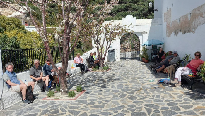
Meeting Point: Jete-Ítrabo parking
See map full screen Click here
Note: You can choose different types of maps using the drop down (top right) EG ArcGis Ariel is satelliteSorry we do not allow download of the gpx file of this walk because our group suffered a takeover by the weasly walkers. Click here if you would like to know what a walking group takeover is.
This page has been seen 2978 times since - 9th March 2022