
This circular walk starts at the Centro de Visitantes el Dornajo on the Carretera de la Sierra. It is 11.6km long, has an elevation of 544m and takes approximately 4 hours to complete.
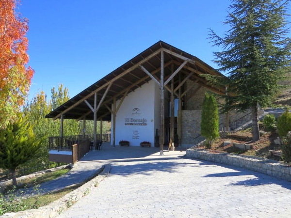
We start at the Centro de Visitantes El Dornajo. The centre has information about the area and an interesting exposition about the old tram that used to run up to the Sierra. From the centre, we follow the Camino de los Neveros and skirt round the Cañadillas mountain and then drop down to the Collado de las Sabinas. Here we turn left and make our way back down to the starting point.
View of Trevenque Views of Granada
| Distance | 10.418 km |
| Duration | 4 hours 11 minutes GPX ------ 3 hours 58 mins (Naismith) |
| Total Climb | 544 m |
| Highest Point | 2187 m |
| Weather Link | Click here |
Meeting Point: Centro de Visitantes El Dornajo (Carretera de la Sierra)
See map full screen Click here
Note: You can choose different types of maps using the drop down (top right) EG ArcGis Ariel is satelliteSorry we do not allow download of the gpx file of this walk because our group suffered a takeover by the weasly walkers. Click here if you would like to know what a walking group takeover is.
This page has been seen 1739 times since - 17th August 2022