
This route goes from Restabal to Saleres and then on to Albuñuelas. The route is 11.03 km long, has an elevation of 256 m and takes about 4 hours to complete.
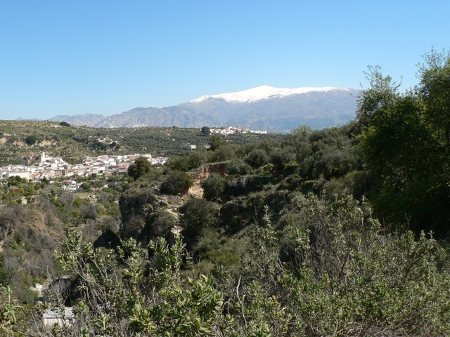
This mainly circular route starts in the village of Restabal in the Lecrín Valley. We make our way up through the Barranco de las Arenas to Saleres and then follow the Río Albuñúelas through the Arroyo Adelfas and the Barranco de las Cabezuelas to Albuñuelas. From here was make our way down back to the starting point. There are a number of fountains and waterfalls along the route.
| Distance | 11.035 km |
| Duration | 3 hours 16 minutes GPX ------ 3 hours 24 mins (Naismith) |
| Total Climb | 256 m |
| Highest Point | 708 m |
| Weather Link | Click here |
Meeting Point: Restabal: Avenida de Andalucía
See map full screen Click here
Note: You can choose different types of maps using the drop down (top right) EG ArcGis Ariel is satelliteSorry we do not allow download of the gpx file of this walk because our group suffered a takeover by the weasly walkers. Click here if you would like to know what a walking group takeover is.
This page has been seen 1133 times since - 21st April 2025