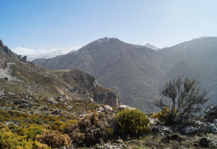

The route explores some of the most important peaks near El Purche. The route is 7.3 km long, has an elevation of 300 m and takes about 3,5 hours to complete.
The route starts in El Purche. From here, we take the track and begin the uphill climb to the first peak at 1631 metres. We continue on up to the peak of El Cerrajón at 1643 metres, before hiking up another three peaks. This is the highest point of the route and from here, the walk back is mainly downhill except for the uphill section to the Cerro de Manolón. We then begin the downhill walk back to the starting point.
| Distance | 7.221 km |
| Duration | 3 hours 9 minutes GPX ------ 2 hours 33 mins (Naismith) |
| Total Climb | 300 m |
| Highest Point | 1651 m |
| Weather Link | Click here |
Meeting Point: El Purche (near campsite)
See map full screen Click here
Note: You can choose different types of maps using the drop down (top right) EG ArcGis Ariel is satelliteSorry we do not allow download of the gpx file of this walk because our group suffered a takeover by the weasly walkers. Click here if you would like to know what a walking group takeover is.
This page has been seen 2266 times since - 15th May 2024