
The route explores the Barranco del Hornillo at Puerto de La Ragua. The route is 7.86 km long, has an elevation of 287 m and takes approximately 3 hours to complete.
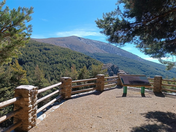
This circular route starts in the car park at Puerto de la Ragua. From here, we follow the Arroyo del Palancón down. We then make our way back up to the Mirador Barranco del Hornillo with fantastic views of the surroundig areas, and then head back to the starting point.
| Distance | 7.855 km |
| Duration | 2 hours 22 minutes GPX ------ 2 hours 41 mins (Naismith) |
| Total Climb | 287 m |
| Highest Point | 2060 m |
| Weather Link | Click here |
Meeting Point: Puerto de La Ragua
See map full screen Click here
Note: You can choose different types of maps using the drop down (top right) EG ArcGis Ariel is satelliteSorry we do not allow download of the gpx file of this walk because our group suffered a takeover by the weasly walkers. Click here if you would like to know what a walking group takeover is.
This page has been seen 206 times since - 28th May 2026