
This circular route begins in Prado Negro. The route is 10.73 km long, has an elevation of 307 m, and takes approximately 4.5 hours.
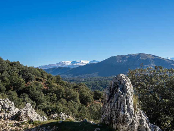
The route begins in Prado Negro along the PR A 286, passing by farmhouses, springs, and the Llano de la Doncella meadow. We walk through oak groves and along the Sierra Arana mountains, following paths and trails that lead us through diverse landscapes. The route goes through areas of great natural beauty, such as a wetland at the Fuente de la Pileta spring and the rocky cliffs of El Despeñadero. Finally, we cross the Prado Negro stream and discover its charming waterfall, hidden within a cave.
| Distance | 10.734 km |
| Duration | 3 hours 13 minutes GPX ------ 3 hours 27 mins (Naismith) |
| Total Climb | 307 m |
| Highest Point | 1621 m |
| Weather Link | Click here |
Meeting Point: Prado Negro: Parking
See map full screen Click here
Note: You can choose different types of maps using the drop down (top right) EG ArcGis Ariel is satelliteSorry we do not allow download of the gpx file of this walk because our group suffered a takeover by the weasly walkers. Click here if you would like to know what a walking group takeover is.
This page has been seen 1072 times since - 24th September 2025