
This spectacular Autumn circular walk passes through the Chestnut grove near Paterna del Río and follows the Acequia Real. It is 11.4km long, has an elevation of 505m and takes approximately 4 hours to complete.
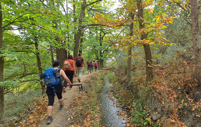
We start from the beautiful town of Paterna del Río, in the Almeria Alpujarras, near the Puerto de la Ragua to follow one of the most beautiful Autumn routes in the area that is so much better from the Camarate or the Rosandra area in Aldeire. After a continuous and hard uphill start, we descend to the river to climb again a little until we reach the Acequia Real, where the true spectacle of ancient chestnut trees begins, with leaves of many different colours and chestnut trees everywhere. After this, we return to Paterna where we will have a couple of beers for a job well done.
Note: The best part of this walk is the walk along the acequia. You do this walk anticlockwise and then turn back once you leave the acequia.
Paterna del Río: Ruta del Castañar - Acequia Real
| Distance | 11.41 km |
| Duration | 3 hours 49 minutes GPX ------ 4 hours 5 mins (Naismith) |
| Total Climb | 490 m |
| Highest Point | 1572 m |
| Weather Link | Click here |
Meeting Point: Paterna del Río: Plaza del Ayuntamiento
See map full screen Click here
Note: You can choose different types of maps using the drop down (top right) EG ArcGis Ariel is satelliteSorry we do not allow download of the gpx file of this walk because our group suffered a takeover by the weasly walkers. Click here if you would like to know what a walking group takeover is.
This page has been seen 1839 times since - 24th October 2022