
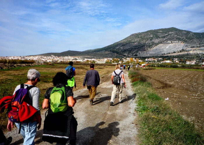

The route starts by exploring the Humedal del Padul and follows the Ruta del Mamut. The route is 12.66 km long, has an elevation of 61 m and takes approximately 4 hours to complete.
This circular route starts in the car park at the start of the Ruta del Mamut. We make our way through the Humedal del Padul, before looping round to join the Camino de los Quinientos with the Fuente del Malnombre. We walk along the Calzada Romana and then follow the Camino de los Molinos to the village of Cozvijar with its small Ermita de la Virgen de la Cabeza. We then follow the Arroyo Laguna back to the starting point.
| Distance | 12.656 km |
| Duration | 3 hours 14 minutes GPX ------ 3 hours 19 mins (Naismith) |
| Total Climb | 61 m |
| Highest Point | 756 m |
| Weather Link | Click here |
Meeting Point: Padul: Ruta del Mamut
See map full screen Click here
Note: You can choose different types of maps using the drop down (top right) EG ArcGis Ariel is satelliteSorry we do not allow download of the gpx file of this walk because our group suffered a takeover by the weasly walkers. Click here if you would like to know what a walking group takeover is.
This page has been seen 155 times since - 6th October 2026