
This circular route explores the Sierra del Manar near Otura. The route is 12.14 km long, has an elevation of 425 m and takes approximately 4.5 hours to complete.
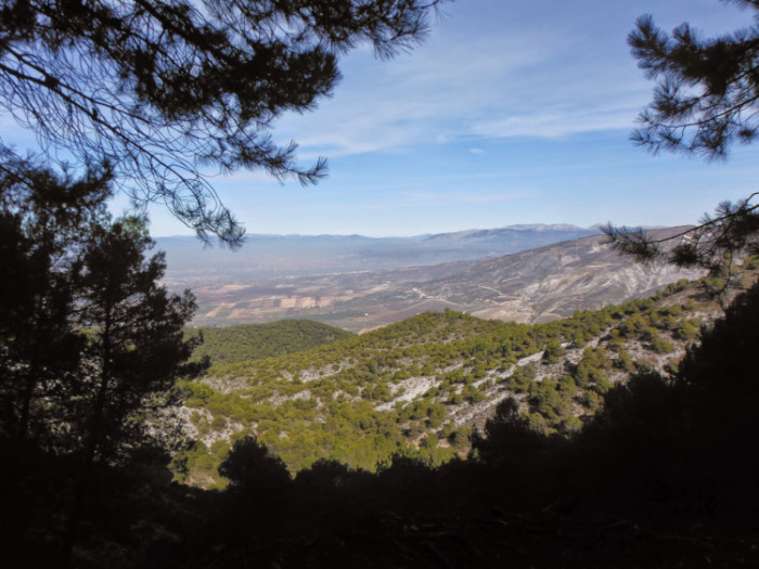
This route begins near the Otura Golf Course and gradually climbs towards the Sierra del Manar mountain range. We first follow trails marked by motorcycles until we reach the Dílar-Padul road. Before reaching El Puntal, we take the Majada Chica Trail and, further up, connect with the road towards La Atalaya. Then we descend through the ravine of the Teta cave. Almost the entire route winds through pleasant pine forests.
| Distance | 12.138 km |
| Duration | 3 hours 46 minutes GPX ------ 4 hours 6 mins (Naismith) |
| Total Climb | 425 m |
| Highest Point | 1157 m |
| Weather Link | Click here |
Meeting Point: Otura: Barranco de los Lobos
See map full screen Click here
Note: You can choose different types of maps using the drop down (top right) EG ArcGis Ariel is satelliteSorry we do not allow download of the gpx file of this walk because our group suffered a takeover by the weasly walkers. Click here if you would like to know what a walking group takeover is.
This page has been seen 785 times since - 5th January 2026