
This route explores the area south of Monachil. The route is 10.87 km long, has an elevation of 344 m and takes approximately 4.5 hours to complete.
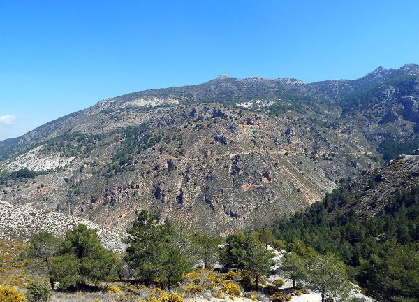
The route starts just outside the village of Monachil. From the carpark, we follow the Pista del Cortijo del Hervidero with a fairly gentle uphill section up to the Cerro Redondo. We then walk through the Barranco de Corvales to the Collado del Tejarillo and on through the Barranco de la Cuesta de Formes. We then walk through the Cortijo del Balzaín before crossing the Carretera a Cumbres Verdes. There is now an off-piste section through the Llanos de Satajardas to connect up later with another track which we follow to El PUntal and then back to the starting point.
| Distance | 10.866 km |
| Duration | 4 hours 13 minutes GPX ------ 3 hours 35 mins (Naismith) |
| Total Climb | 344 m |
| Highest Point | 1300 m |
| Weather Link | Click here |
Meeting Point: Monachil: Área Recreativa Los Llanos
See map full screen Click here
Note: You can choose different types of maps using the drop down (top right) EG ArcGis Ariel is satelliteSorry we do not allow download of the gpx file of this walk because our group suffered a takeover by the weasly walkers. Click here if you would like to know what a walking group takeover is.
This page has been seen 1689 times since - 15th April 2024