
This circular route explores the area around Lanteira. It is 10.88 km long, has an elevation of 237 m and takes about 4 hours to complete.
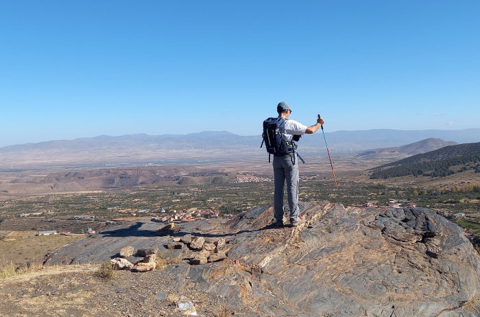
The walk starts in the village of Lanteira in the province of Granada. It is a great walk for the autumn with spectacular views and colours. On our way, we will pass a number of former flour mills and a castle and we will follow the acequia de Lanteira.
| Distance | 10.882 km |
| Duration | 3 hours 9 minutes GPX ------ 3 hours 19 mins (Naismith) |
| Total Climb | 237 m |
| Highest Point | 1431 m |
| Weather Link | Click here |
Meeting Point: Lanteira: Plaza de la Concordia
See map full screen Click here
Note: You can choose different types of maps using the drop down (top right) EG ArcGis Ariel is satelliteSorry we do not allow download of the gpx file of this walk because our group suffered a takeover by the weasly walkers. Click here if you would like to know what a walking group takeover is.
This page has been seen 2001 times since - 8th November 2022