
This circular route explores the area around the village of La Peza. The route is 15.45 km long, has an elevation of 337 m and takes about 4.5 hours to complete.
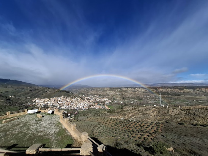
This circular walking route starts in La Peza. We begin by walking up to the Mirador de las Mulas with its views of the village, the Arab castle and the surrounding hills. We then follow the Cañada de la Peste round the Cerro de la Cortina and past Alto de Atochas. We cross the main road and continue along the Rambla Seco and Tajo Burraco and skirt round the edge of the Pantano Francisco Abellán to follow the Rçio Morollón. Finally, we make our way back to the starting point.
| Distance | 15.449 km |
| Duration | 4 hours 29 minutes GPX ------ 4 hours 42 mins (Naismith) |
| Total Climb | 337 m |
| Highest Point | 1193 m |
| Weather Link | Click here |
Meeting Point: La Peza: parking for campervans
See map full screen Click here
Note: You can choose different types of maps using the drop down (top right) EG ArcGis Ariel is satelliteSorry we do not allow download of the gpx file of this walk because our group suffered a takeover by the weasly walkers. Click here if you would like to know what a walking group takeover is.
This page has been seen 1345 times since - 7th April 2025