
On this circular route we walk from La Peza to the Fuente de la Gitana. The route is 12.80 km long, has an elevation of 240 m and takes about 4 hours to complete.
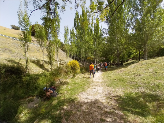
The route starts at the petrol station just outside the village of La Peza, and begins by following the road to reach a track that runs parallel to the Río Morollón. We reach the village of La Peza, and from here, we make our way up into the hills above the village to the Ermita de San Antón. We continue walking up through the Cerro San Antonio, and past the Lomo Arcuilla, which is the highest point of the route at 1183 m. There is then a fairly level section through the Barranco del Cucadero, before we make our way down to the Fuente de la Gitana by the side of the Río Morollón. We then make our way back to the starting point.
| Distance | 12.801 km |
| Duration | 3 hours 36 minutes GPX ------ 3 hours 48 mins (Naismith) |
| Total Climb | 240 m |
| Highest Point | 1183 m |
| Weather Link | Click here |
Meeting Point: La Peza: Gasolinera
See map full screen Click here
Note: You can choose different types of maps using the drop down (top right) EG ArcGis Ariel is satelliteSorry we do not allow download of the gpx file of this walk because our group suffered a takeover by the weasly walkers. Click here if you would like to know what a walking group takeover is.
This page has been seen 2017 times since - 30th April 2025