
This circular route begins in Jérez del Marquesado. The route is 13.45 km long, has an elevation of 349 m, and takes approximately 4.5 hours.
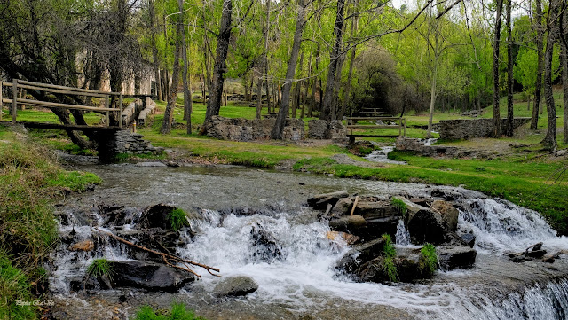
This circular route begins in Jérez del Marquesado and walks towards the Barranco del Alcázar ravine, following the acequia and the Alcázar reservoir among chestnut, holm oak, and pine trees. We pass the remains of three old hydroelectric power plants, with steep ascents alongside pipelines and the former workers' houses. The route is notable for its spectacular autumn colours and the La Tizná recreational area. We return to the starting point along the PR-A 31, descending through pine forests to the acequia.
| Distance | 13.45 km |
| Duration | 4 hours 1 minutes GPX ------ 4 hours 14 mins (Naismith) |
| Total Climb | 349 m |
| Highest Point | 1536 m |
| Weather Link | Click here |
Meeting Point: Jérez del Marquesado: Plaza del Ayuntamiento
See map full screen Click here
Note: You can choose different types of maps using the drop down (top right) EG ArcGis Ariel is satelliteSorry we do not allow download of the gpx file of this walk because our group suffered a takeover by the weasly walkers. Click here if you would like to know what a walking group takeover is.
This page has been seen 1133 times since - 9th September 2025