
This circular anticlockwise route explores the Parque Periurbano Dehesa del Generalife above Granada near the Alhambra. The walk is 10.2km long, has an elevation of 331m and takes about 4 hours to complete.
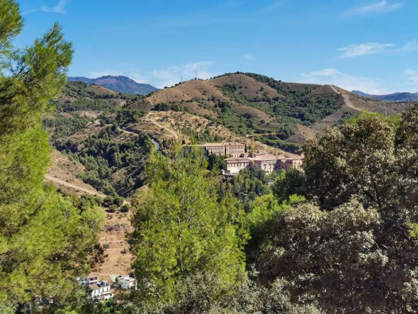
The walk starts in Lancha del Genil. We then walk up and round to the Cerro del Sol (1010m). This is the highest point of the walk and after this is it is mainly downhill. The route continues through the Parque Periurbano Dehesa del Generalife to the Aljibe de la Lluvia. Shortly afterwards, there are excellent views of the Silla del Moro, Sacromonte and Granada. We continue round through the Barranco del Abogado and back to the starting point.
After about 30 minutes there is a very steep section on a not particularly good track which takes about 20 minutes to complete. It was a bit to much for one man over 70 years old and he turned back and went on a less steep path that the one we were were on and he met up with us at the sundial. Although the walk is easy make sure that everyone knows that this walk included a difficult section.
If you want to do this walk coming from the centre of Granada take the very frequent 33 bus. Get off after viveros Cambil.
| Distance | 10.227 km |
| Duration | 3 hours 16 minutes GPX ------ 3 hours 23 mins (Naismith) |
| Total Climb | 331 m |
| Highest Point | 1033 m |
| Weather Link | Click here |
Meeting Point: Lancha del Genil: parking
See map full screen Click here
Note: You can choose different types of maps using the drop down (top right) EG ArcGis Ariel is satelliteSorry we do not allow download of the gpx file of this walk because our group suffered a takeover by the weasly walkers. Click here if you would like to know what a walking group takeover is.
This page has been seen 2349 times since - 4th October 2022