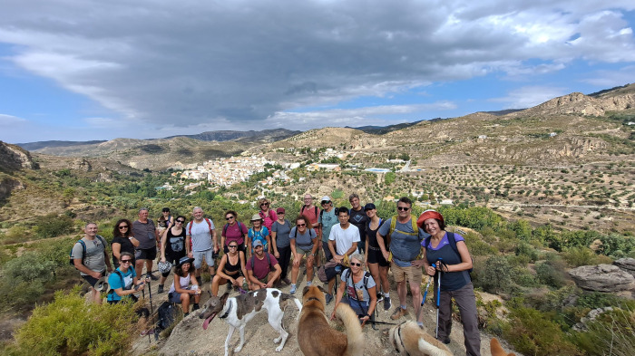

This circular route walks from the village of Dúdar up tothe Mirador de Quéntar. The route is 10.5 km long, has an elevation of 414 m and takes about 4 hours to complete.
The route starts in the village of Dúdar near the Pantano de Quéntar. We follow the Río Aguas Blancas and then make our way up first to the Mirador de Quéntar and then to the Mirador de la Presa de Quéntar and the Trincheras de la Ventanilla. From here, the route is mainly downhill as we make our way back down and round back to Dúdar.
| Distance | 10.537 km |
| Duration | 3 hours 44 minutes GPX ------ 3 hours 40 mins (Naismith) |
| Total Climb | 414 m |
| Highest Point | 1143 m |
| Weather Link | Click here |
Meeting Point: Dúdar: carpark
See map full screen Click here
Note: You can choose different types of maps using the drop down (top right) EG ArcGis Ariel is satelliteSorry we do not allow download of the gpx file of this walk because our group suffered a takeover by the weasly walkers. Click here if you would like to know what a walking group takeover is.
This page has been seen 2409 times since - 1st January 1970