Dílar: Acequias y Miradores

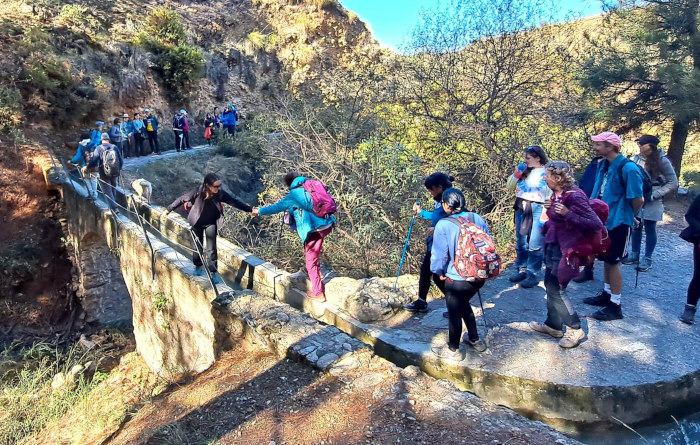
This circular clockwise route explores the acequias and miradores around the village of Dílar. The route is 10.25 km long, has an elevation of 133 m and takes about 4 hours to complete.
LONG DESCRIPTION
The route starts in the centre of Dílar. We start by following the Camino Nuevo and the Carretera de la Fábrica to cross the Río Dílar. We then follow the river another couple of kilimetres before crossing it once again to make our way back passing the Mirador de Toril, the Mirador de las Bocas del Río, the Mirador del Encinar, the Mirador de Bizcandía and the Mirador de la Hoya to return to the starting point.
This walk is an excellent choice for someone staying in Granada who wants a very pleasant not too difficult walk. There are plenty of buses from Granada. It takes about 40 minutes from the centre of Granada on the 171 line.
| Distance | 10.255 km |
| Duration | 3 hours 25 minutes GPX ------ 2 hours 54 mins (Naismith) |
| Total Climb | 133 m |
| Highest Point | 939 m |
| Weather Link | Click here |
Calorie Note: The calories info is grouped into 3 figures according to body weight including luggage. This is just a very rough guide. Our figures here are lower than a fitbit. You can see how much 5% beer you will need to drink to replace the calories you have burned.
Meeting Point: Dílar: parking
See map full screen Click here
Note: You can choose different types of maps using the drop down (top right) EG ArcGis Ariel is satelliteSorry we do not allow download of the gpx file of this walk because our group suffered a takeover by the weasly walkers. Click here if you would like to know what a walking group takeover is.
This page has been seen 2505 times since - 1st November 2023This page was last updated on 3rd June 2024

