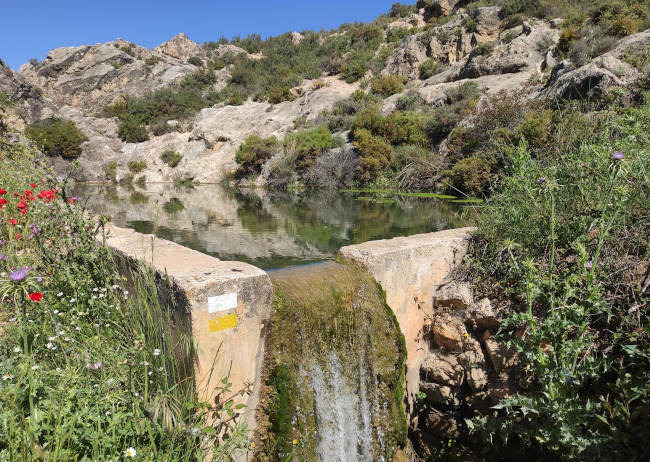

This route explores the area behind the village of Diezma and visits the villages of Sillar Bajo and Los Villares. The walk is 14.4km and takes about 5 hours to complete.
The walk begins in the village of Diezma. There are two upclimbs on the first and we begin the first just after Diezma. We follow the route clockwise and pass the Cerro del Cerbal on our right and the Cerro del Cocorocha on our left. We walk through the village of Sillar Bajo and on to Los Villares. There is now another climb uphill as we approach the Cerro del Rayo and then make our way back to the starting point.
| Distance | 14.366 km |
| Duration | 5 hours 4 minutes GPX ------ 4 hours 35 mins (Naismith) |
| Total Climb | 400 m |
| Highest Point | 1403 m |
| Weather Link | Click here |
Meeting Point: Diezma: centre
See map full screen Click here
Note: You can choose different types of maps using the drop down (top right) EG ArcGis Ariel is satelliteSorry we do not allow download of the gpx file of this walk because our group suffered a takeover by the weasly walkers. Click here if you would like to know what a walking group takeover is.
This page has been seen 2188 times since - 4th May 2022