
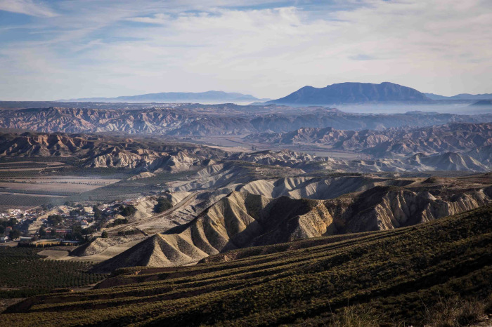

This circular route explores the Geoparque de Granada and starts in Dehesas de Guadix. The route is 8.90 km long, has an elevation of 307 m and takes approximately 4 hours to complete.
This circular route starts in Dehesas de Guadix. The first half of the walk is uphill and the second downhill section wakes us back to the starting point.
Set within the UNESCO Granada Global Geopark, Dehesas de Guadix offers a dramatic, desert-like landscape shaped over millions of years. Once part of an enclosed inland basin where ancient rivers deposited deep layers of silt, clay, and gravel, the area was radically transformed around half a million years ago when it connected to the Guadalquivir river system.
Today, relentless water erosion continues to carve the terrain into striking badlands of bare ridges, gullies, and ravines. It is also famous for piping - a unique erosive process where underground water bores tunnels through the sediment, creating fascinating sinkholes and surface collapses.
| Distance | 8.905 km |
| Duration | 2 hours 15 minutes GPX ------ 3 hours 0 mins (Naismith) |
| Total Climb | 307 m |
| Highest Point | 963 m |
| Weather Link | Click here |
Meeting Point: Dehesas de Guadix
See map full screen Click here
Note: You can choose different types of maps using the drop down (top right) EG ArcGis Ariel is satelliteSorry we do not allow download of the gpx file of this walk because our group suffered a takeover by the weasly walkers. Click here if you would like to know what a walking group takeover is.
This page has been seen 117 times since - 2nd November 2026