
This is a very hard but really spectacular route in the Alpujarras of Granada. The route is 19.9km long, has an elevation of 851m and takes about 7 hours to complete.
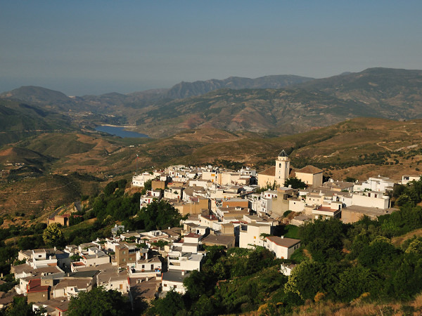
We start from the beautiful town of Cañar and start with a steep uphill hike, each at their own pace and continually regrouping, until we reach the Puente Palo Recreational Area. IMPORTANT!! This part is extremely steep and not suitable for everyone.
In Puente Palo, and after a well-deserved rest, we take the Acequia Almiar which, between chestnut trees and autumnal oaks, will take us to La Atalaya with an exceptional view of the three poqueira villages: Pampaneira, Bubión and Capileira, with Mulhacén in the background. From there we will go down to the O-SEL-LING Buddhist center that we will visit with the utmost respect and silence.
Leaving there, we head to DIQUE 24, near Soportujar, which is beautiful in the autumn (a really magical place) and from there back to Cañar where we will have a well-deserved beer (or two ).
| Distance | 19.911 km |
| Duration | 7 hours 0 minutes GPX ------ 7 hours 6 mins (Naismith) |
| Total Climb | 851 m |
| Highest Point | 1789 m |
| Weather Link | Click here |
Meeting Point: Cañar: centre - parking
See map full screen Click here
Note: You can choose different types of maps using the drop down (top right) EG ArcGis Ariel is satelliteSorry we do not allow download of the gpx file of this walk because our group suffered a takeover by the weasly walkers. Click here if you would like to know what a walking group takeover is.
This page has been seen 773 times since - 31st October 2022