
This circular route starts in Beas de Granada. The route is 10.21 km long, has an elevation of 268 m and takes about 4 hours to complete.
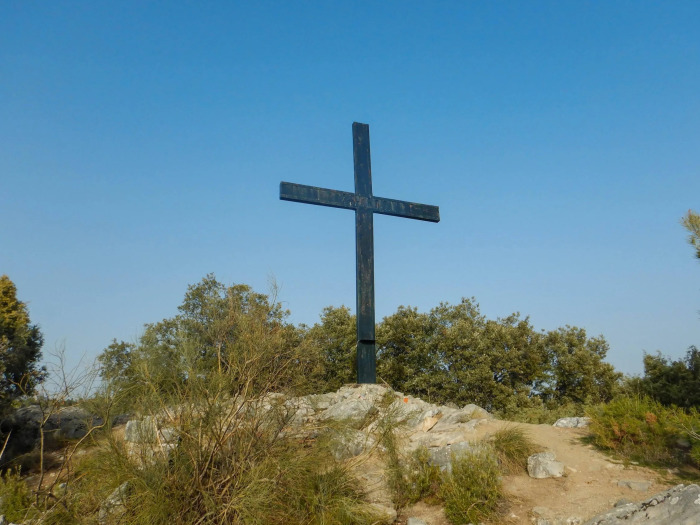
The route starts in Beas de Granada. There is a gentle uphill section to the Trincheras and the Cerro de la Cruz before the steeper climb up to the highest point of the walk at 1184 m. We then make our way down through the Barranco del Rey down to the Río Beas which we follow back to the village.
| Distance | 10.212 km |
| Duration | 3 hours 49 minutes GPX ------ 3 hours 13 mins (Naismith) |
| Total Climb | 268 m |
| Highest Point | 1176 m |
| Weather Link | Click here |
Meeting Point: Beas de Granada
See map full screen Click here
Note: You can choose different types of maps using the drop down (top right) EG ArcGis Ariel is satelliteSorry we do not allow download of the gpx file of this walk because our group suffered a takeover by the weasly walkers. Click here if you would like to know what a walking group takeover is.
This page has been seen 1414 times since - 4th June 2024