
This circular route explores the area around Aldeire and is a great walk in the autumn when the trees are changing colour. The route is 12.5km long, it has an elevation of 370m and it takes about 4 hours to complete.
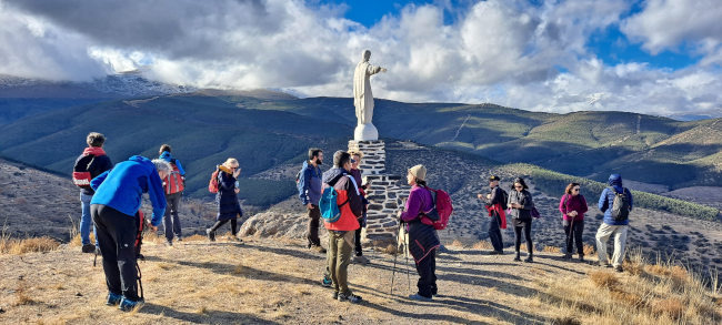
This circular route starts in the small, charming village of Aldeire. Walking clockwise, we begin with a steep uphill section as we make our way up through the Umbría del Tío Calvo to the Castillo de Aldeire, or the Castillo de la Caba, as it is also known. The next uphill section is gentler and we continue on up through La Rosandra to the Mirador de Aldeire. For the next 4km, we walk gently uphill before following the track down to El horcajo and the beginning of the Río Benéjar. We then make our way back to the village, through the Área Recreativa and along the track parallel to the river.
El hogar de Irene Bar Restaurant in Aldeire Spain
| Distance | 12.522 km |
| Duration | 4 hours 8 minutes GPX ------ 4 hours 3 mins (Naismith) |
| Total Climb | 370 m |
| Highest Point | 1598 m |
| Weather Link | Click here |
Meeting Point: Aldeire
See map full screen Click here
Note: You can choose different types of maps using the drop down (top right) EG ArcGis Ariel is satelliteSorry we do not allow download of the gpx file of this walk because our group suffered a takeover by the weasly walkers. Click here if you would like to know what a walking group takeover is.
This page has been seen 1784 times since - 21st November 2022