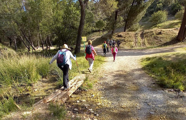

This anti-clockwise, loop walk starts at the Aguas Blancas área recreativa. It is 9.7km long, has an elevation of 270m and takes approximately 2.5 hours to complete.
This is one of several walks around the Aguas Blancas. The route starts at the Área Recreativa Aguas Blancas and continues up towards the Majada de las Borregas. The walk is 9.7km long, has an elevation of 270m and takes approximately 2.15 hours to complete. This is a good walk for June when it gets reasonably hot because it is easy and most of it is in the shade.
| Distance | 9.631 km |
| Duration | 3 hours 53 minutes GPX ------ 3 hours 5 mins (Naismith) |
| Total Climb | 270 m |
| Highest Point | 1408 m |
| Weather Link | Click here |
Meeting Point: Área Recreativa Aguas Blancas
See map full screen Click here
Note: You can choose different types of maps using the drop down (top right) EG ArcGis Ariel is satelliteSorry we do not allow download of the gpx file of this walk because our group suffered a takeover by the weasly walkers. Click here if you would like to know what a walking group takeover is.
This page has been seen 2949 times since - 19th May 2022