
This is the official Camino de Santiago route between La Peza and Quéntar. The route is 29.1km, has an elevation of 734 m and takes about 8 hours to complete..
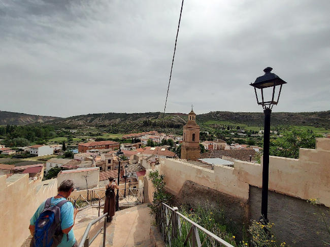
This route avoids as much as possible to highway between La Peza and Quéntar. There are excellent views of the Sierra Nevada Mountains on most of the route. There are no shops bars or facilities of any kind on the whole route. Make sure you take enough food and water for the whole journey.
| Distance | 29.187 km |
| Duration | 7 hours 40 minutes GPX ------ 9 hours 8 mins (Naismith) |
| Total Climb | 734 m |
| Highest Point | 1415 m |
| Weather Link | Click here |
Meeting Point: Plaza de España la Peza
See map full screen Click here
Note: You can choose different types of maps using the drop down (top right) EG ArcGis Ariel is satelliteDownload GPX file We give you permission to download the gpx file of this route and follow it on your smartphone. Please note that we own the copyright to this file and you cannot upload it somewhere else in the same way that you can't copy a Beatles song and then claim that you made it. Click here if you would like to know more about copyright of internet content.
This page has been seen 1811 times since - 28th October 2022