
This is the route between La Peza and Tocón. It would take around 5 hours has a distance of 13.3km and an uphill gain of 413 metres.
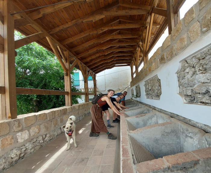
This route starts off with a short spin through the old part of La Peza. You could visit the castle if you want. The route then goes on 4x4 tracks to Fuente de la Gitana. Fuente de la Gitana is a recreation area at the side of the river. It has tables and chairs which would be good for a picnic. The rest of the track follows the road. It is an asphalt road but there are not many cars.
In Tocón there is an Albergue Municipal.
It would be best to phone beforehand to make sure it is open.
Albergue de Peregrinos Tocon de Quentar
Address: C. los Damianes, 7, 18517 Tocón de Quéntar, Granada
Phone: 615 95 27 63
There is only one restaurant in Tocón.
If all goes wrong you should be prepared to walk to Quéntar which is an extra 13km
| Distance | 13.361 km |
| Duration | 5 hours 12 minutes GPX ------ 4 hours 22 mins (Naismith) |
| Total Climb | 413 m |
| Highest Point | 1298 m |
| Weather Link | Click here |
Meeting Point: Plaza de España la Peza
See map full screen Click here
Note: You can choose different types of maps using the drop down (top right) EG ArcGis Ariel is satelliteDownload GPX file We give you permission to download the gpx file of this route and follow it on your smartphone. Please note that we own the copyright to this file and you cannot upload it somewhere else in the same way that you can't copy a Beatles song and then claim that you made it. Click here if you would like to know more about copyright of internet content.
This page has been seen 990 times since - 28th October 2022